

The Royal Gorge, outside Cañon City, is a very narrow and deep canyon at 1,250 feet high and only 30 feet wide at it most narrow point. The Arkansas River cuts through the canyon to maintain a nice steady elevation change.
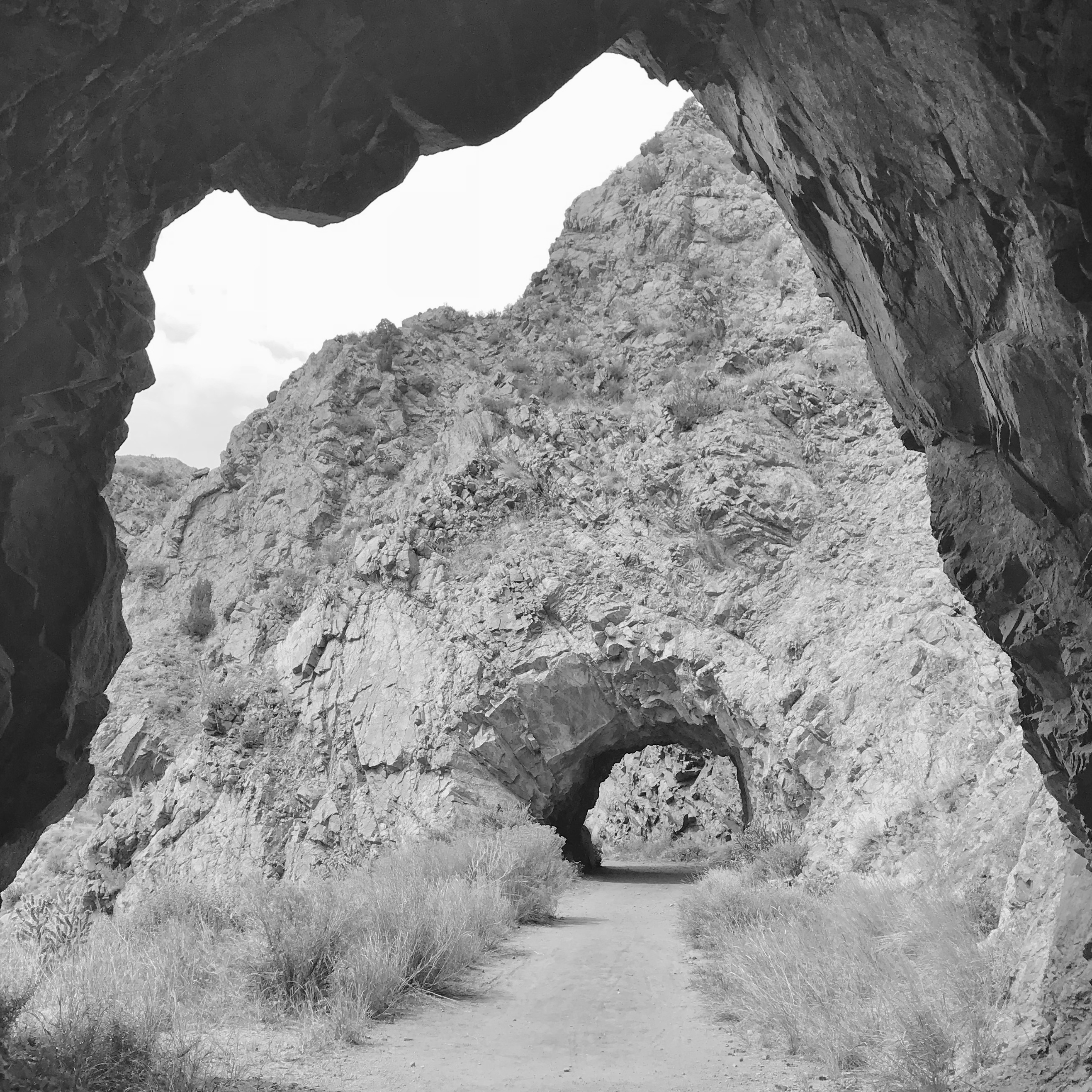
This level trail appears to be an abandoned railroad bed, but that is not the case. These tunnels were carved out for a short scenic drive up the canyon, built on the path of a canal that was later converted to a pipeline.
Two canal intakes, near the mouth of the gorge, one on either side of the river were doing a great job of providing irrigation water, but the valley could use more. Cañon City was a farming and agricultural community in this banana belt of Colorado climate, and these two canals were the lifeblood of the area.
In the late 1880’s small tunnels were dug for a canal that was to receive water farther up the gorge. Due to the elevated route, water could be managed better, and carried farther. Unfortunately, with multiple setbacks, it was never completed and an intake from the river never was never built. Years later, a pipeline was laid into the unused canal.
In 1908, 26 prisoners were brought in to enlarge the tunnels, create a road and improve the trestles along this path to create a scenic drive up the canyon. Iron trestles were built over the ravines to support the pipe. The road and bridges were later reinforced as vehicles became wider and heaver. The trail closed to vehicles in 1990.
Now, with all that fun information, the trail we are taking that parallels the railroad line appears to be train tunnels, but they are not. General Palmer built his attempt to starting on the WEST end of the gorge.
The parallel route that you will be exploring runs not far above the operating rail line. Only two miles long, this route was originally built as an irrigation ditch to supply the orchards of Canon City. A pipeline was later added. Then a roadway was built on top, and the tunnels enlarged for a scenic drive above the river. Three tunnels were blasted into the granite, two iron bridges were built and then the project was abandoned. Today it is a level gravel trail that provides a nice wide surface for a foot trail.
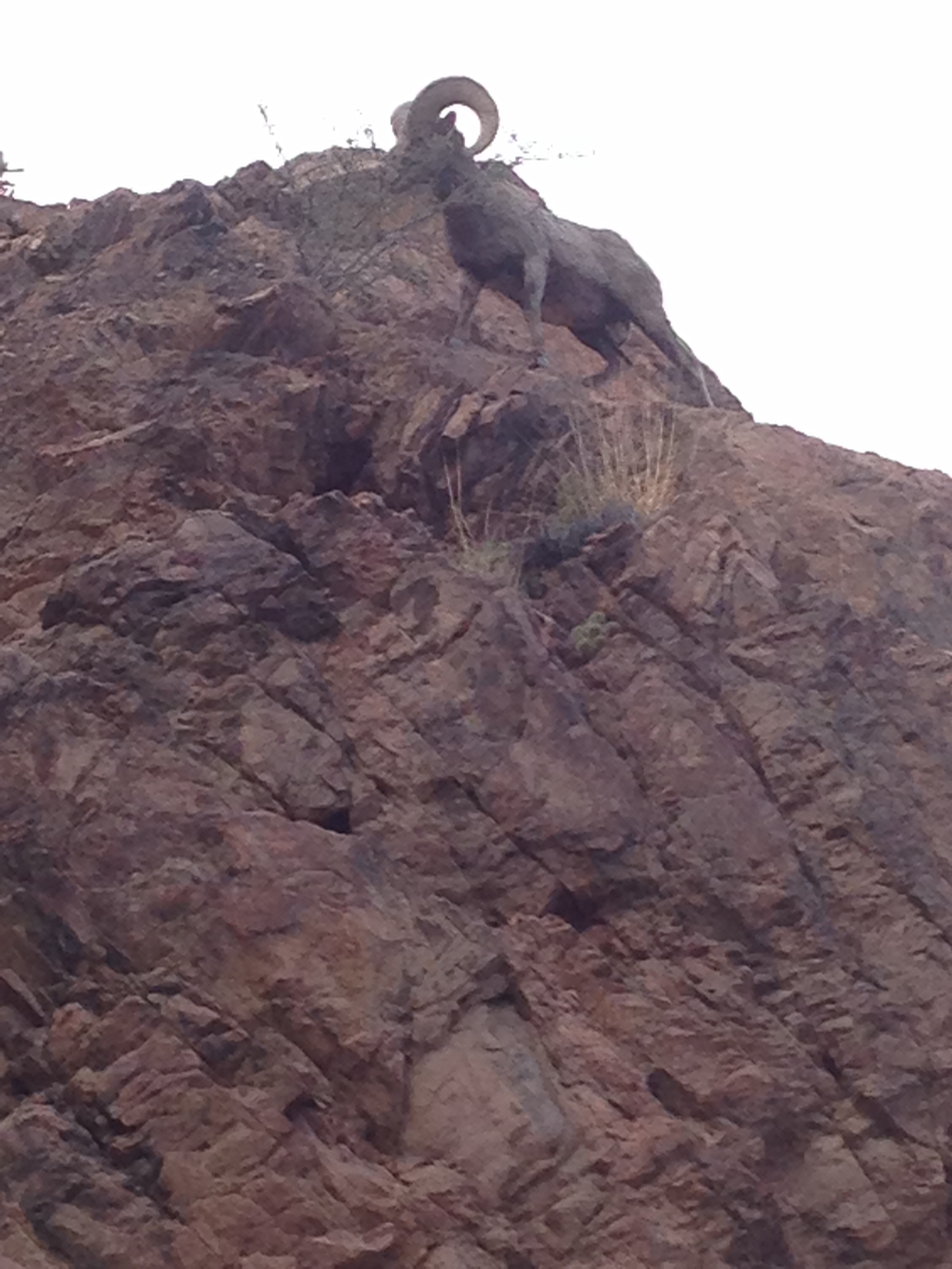
Immediately inside the canyon, you will parallel the rushing Arkansas River and may even witness a trainload of tourists as they pass beneath you.
Getting There: From Cañon City, head west on Highway 50 through town, also called Royal Gorge Boulevard. As you near the end of town, get in the left lane. You will see the Colorado Territorial Correctional Facility on your right. As the highway takes a quick curve to the right, watch for a left turn lane for Tunnel Drive immediately to your left as you finish the curve. Follow Tunnel Drive for one half mile to the dead end in the paved parking lot and public restrooms.
The hike is a four mile round trip that can get surprisingly chilly, breezy or uncomfortably hot. Be prepared with light layers and water. Shade and shelter are scarce. There is a steep but short paved trail to ascend but it levels out from there.
The three tunnels on this trail are at the very start of the hike. The first two short tunnels lend themselves to some great photos when the light is right. Dynamited through the hard granite these are typical of tunnels found throughout the Rocky Mountains. The third tunnel is a little longer. In contrast to the many other railroad tunnels from the early days of railroads, the ceilings are unmarred by the smoke of steam engines.
This hike is detailed in our book Easy Hikes to the Hidden Past – Pikes Peak Region Edition Available on Amazon.

Nice overview of the Tunnel Drive (walk) site. Thanks, I enjoyed reading your blog. Long live Bat Masterson!!!
LikeLiked by 1 person